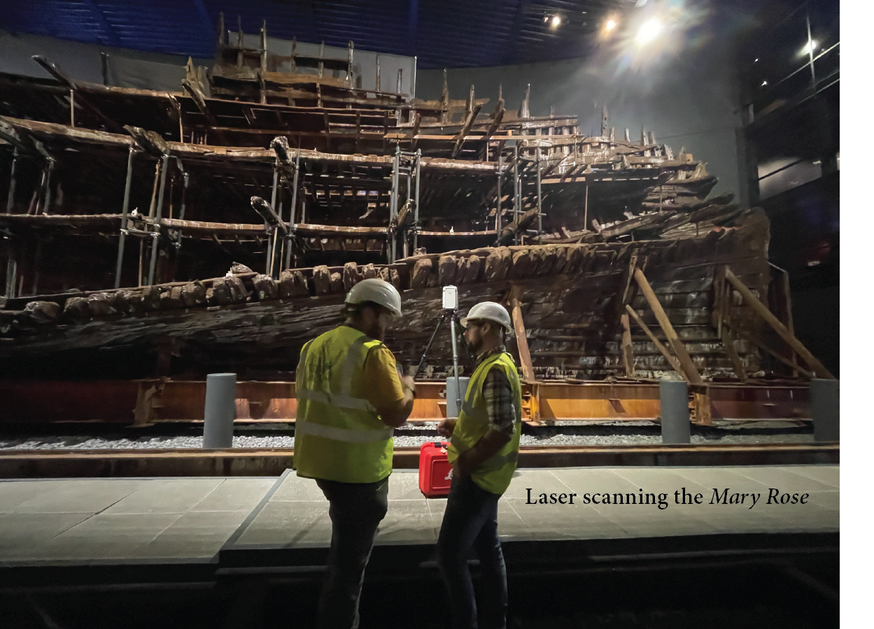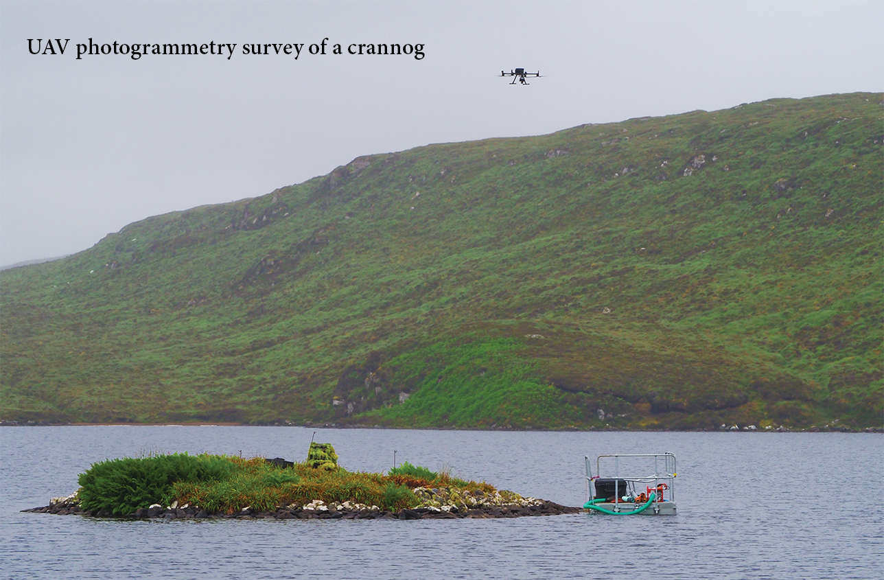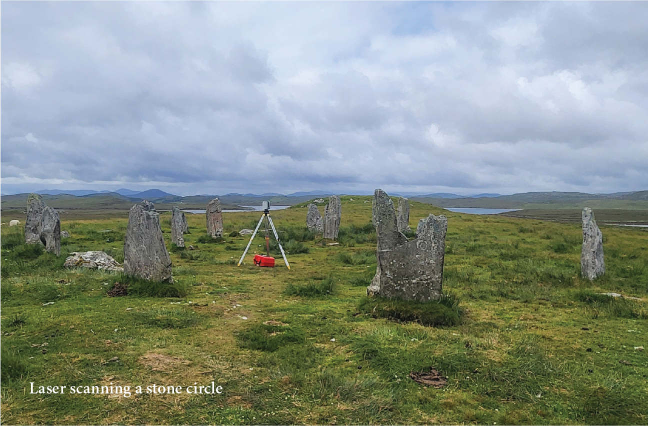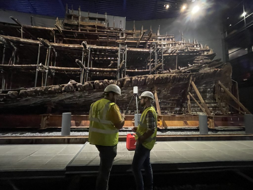
Using laser and structured light scanning, geophysical sensors and uncrewed aerial vehicles (UAVs), equipped with cameras, LiDAR, infrared and multispectral payloads, we support surveys across a range of environments and scales.
• Terrestrial Laser Scanner • UAV Imaging • Ground Penetrating Radar • Coring • Monitoring
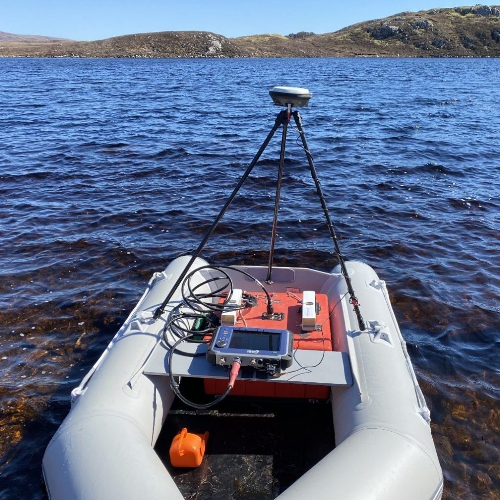
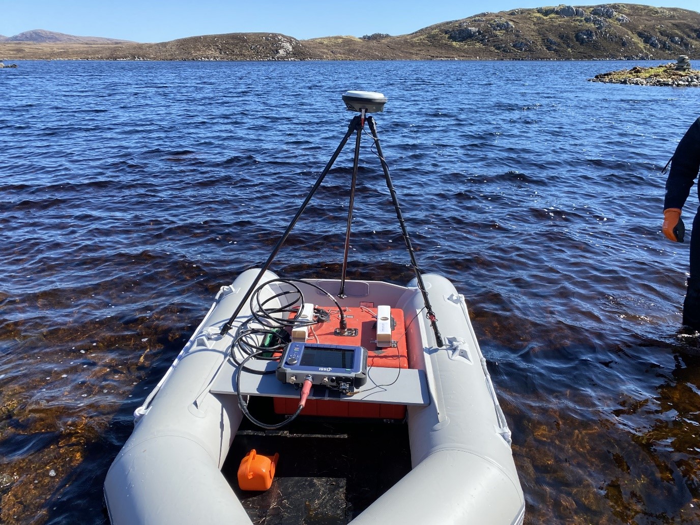
With capacity to support a range of geophysical survey needs, our dedicated uncrewed surface vessel (USV), equipped with LiDAR and multibeam, along with our remotely operated vehicle (ROV), enable shallow to deep water investigation, survey and imaging.
• USV • Marine Geophysics • ROV • Sub-bottom Profiler • Waterborne Ground Penetrating Radar
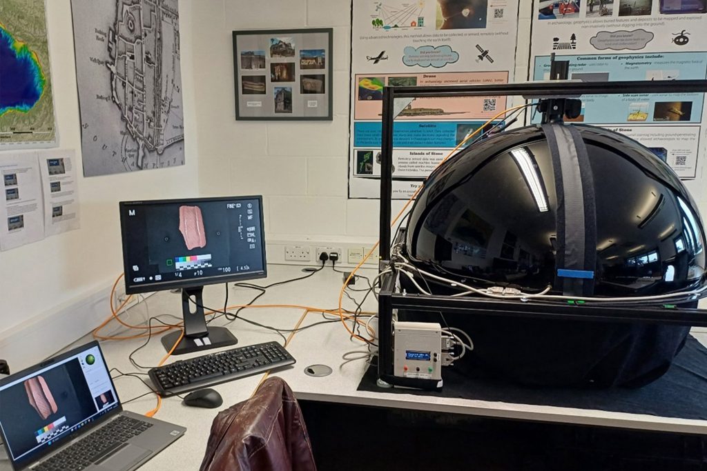
With both fixed and mobile labs to support a variety of imaging needs, our RTI domes, photogrammetry rigs, multispectral kits and high performance computers help bring objects to life through digital, 3D printed and augmented reality mediums.
• Structured Light Scanning • RTI • Photogrammetry
• 3D Modelling • Augmented/Virtual Reality
Case Studies