
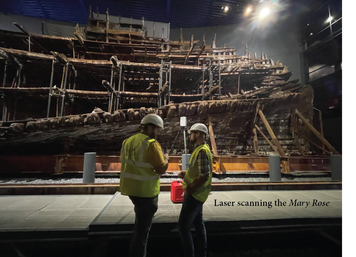
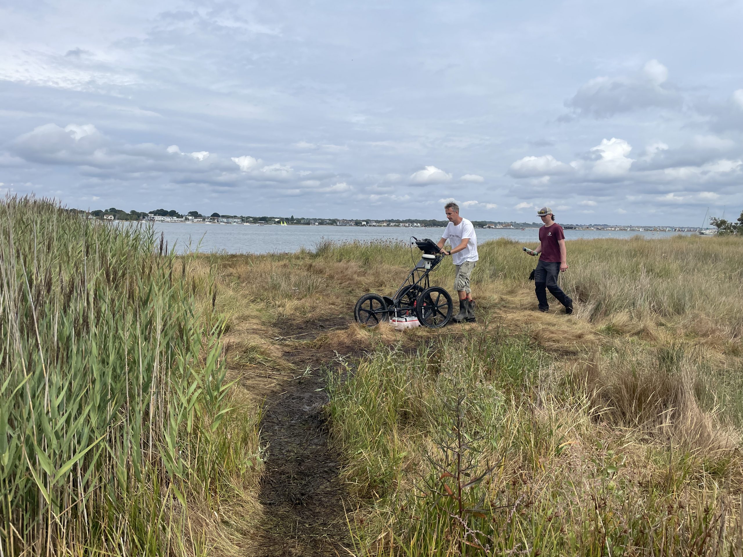
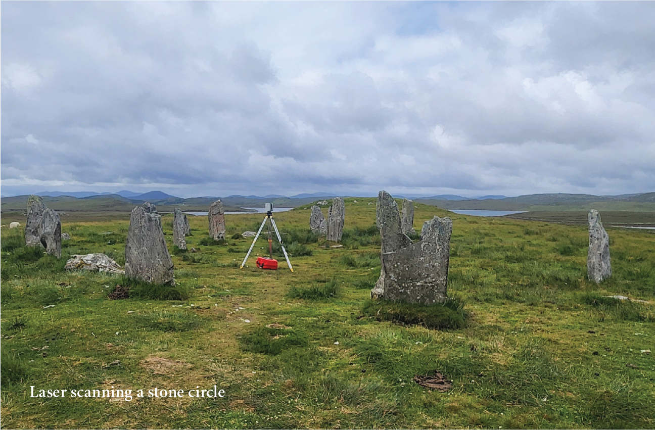
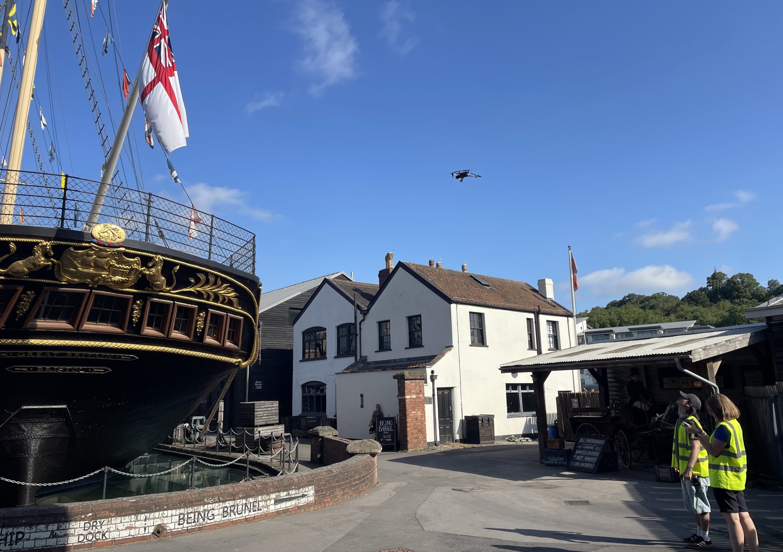
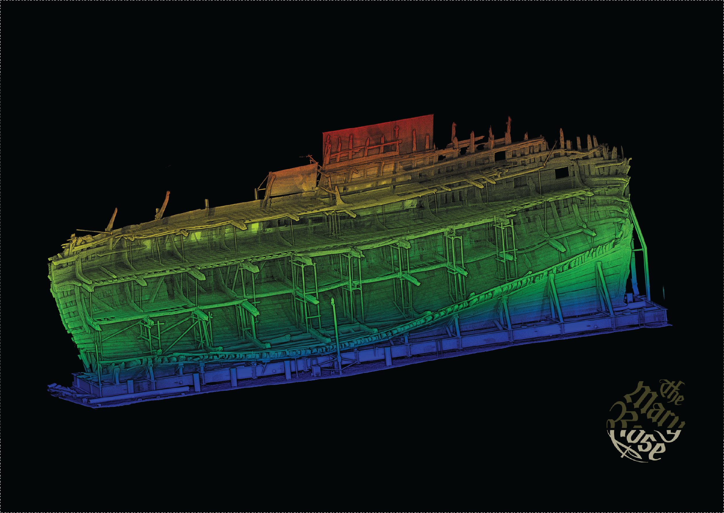
Using laser and structured light scanning, geophysical sensors and uncrewed aerial vehicles (UAVs), equipped with cameras, LiDAR, infrared and multispectral payloads, we support high resolution condition / environmental surveys across a range of environments and scales.
• Terrestrial Laser Scanner • UAV Imaging • Ground Penetrating Radar • Coring •
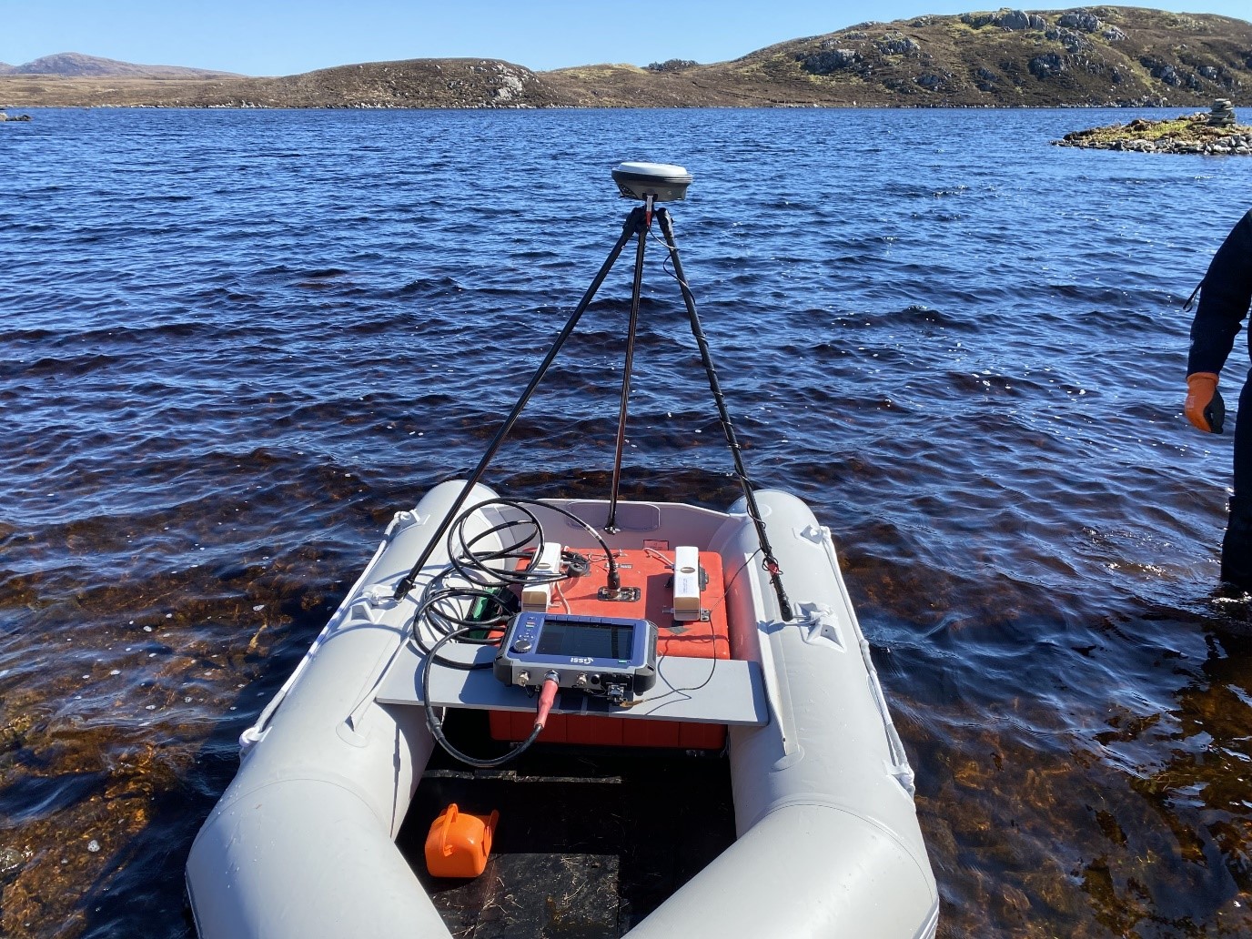
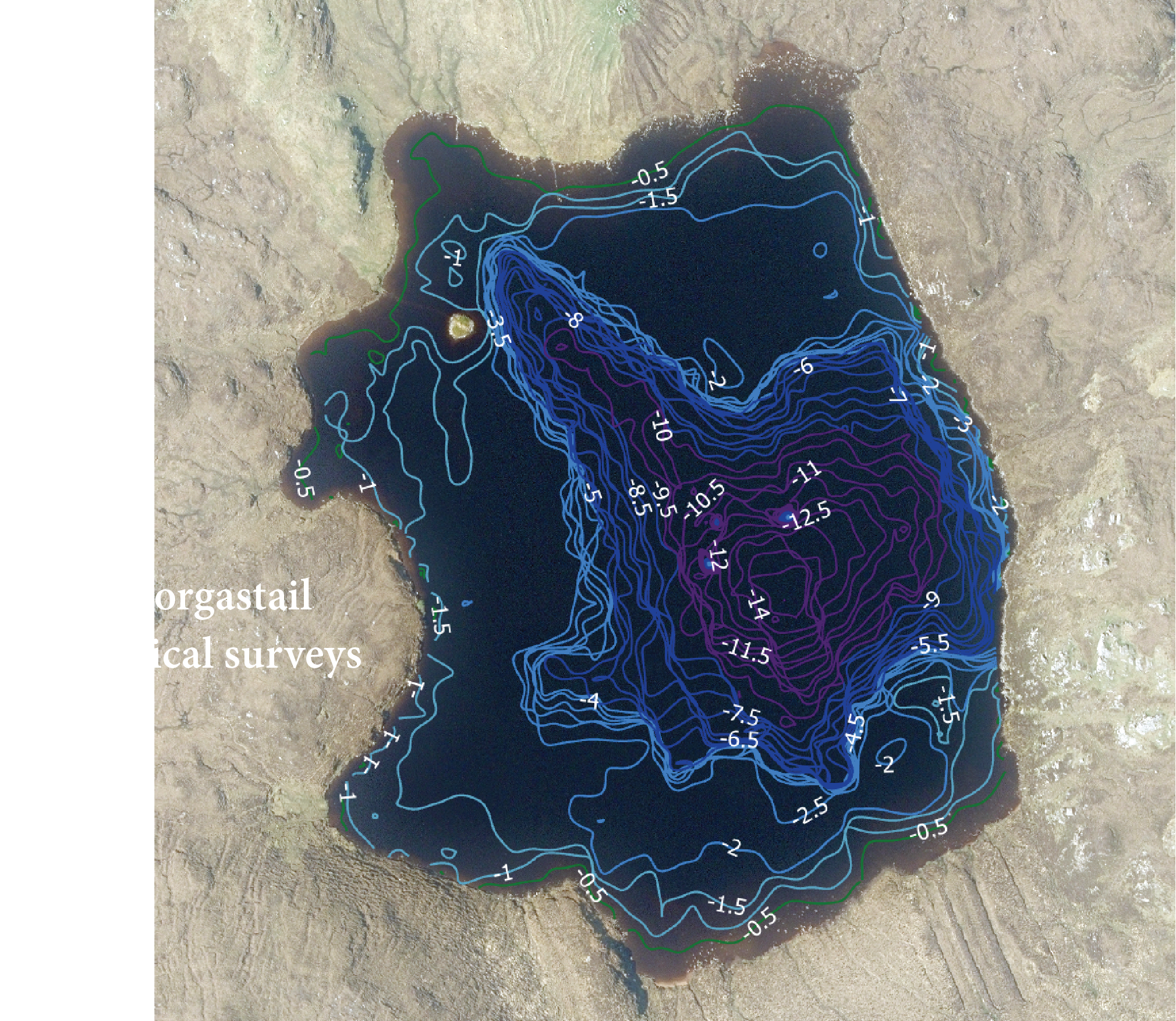
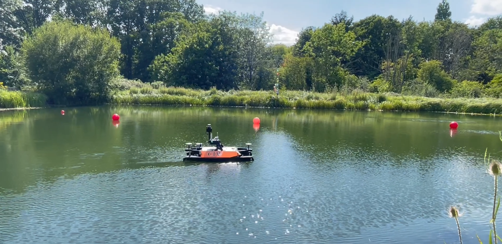
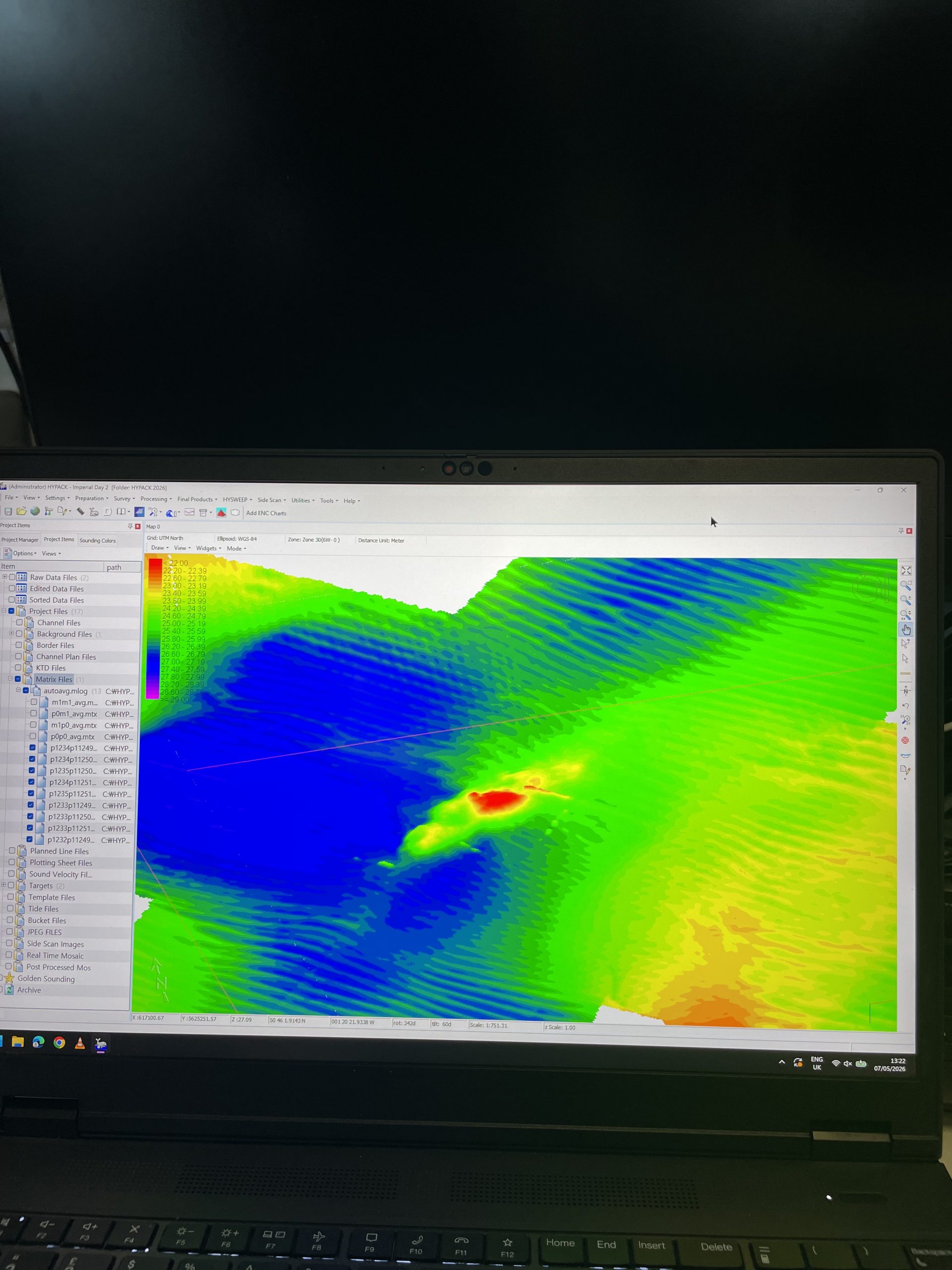
With capacity to support a range of geophysical survey needs, our dedicated uncrewed surface vessel (USV), equipped with LiDAR and multibeam, and remotely operated vehicle (ROV), enable shallow to deep water investigation, survey and imaging.
• USV • ROV • MBES • Sub-bottom Profiler • Water Penetrating Radar •
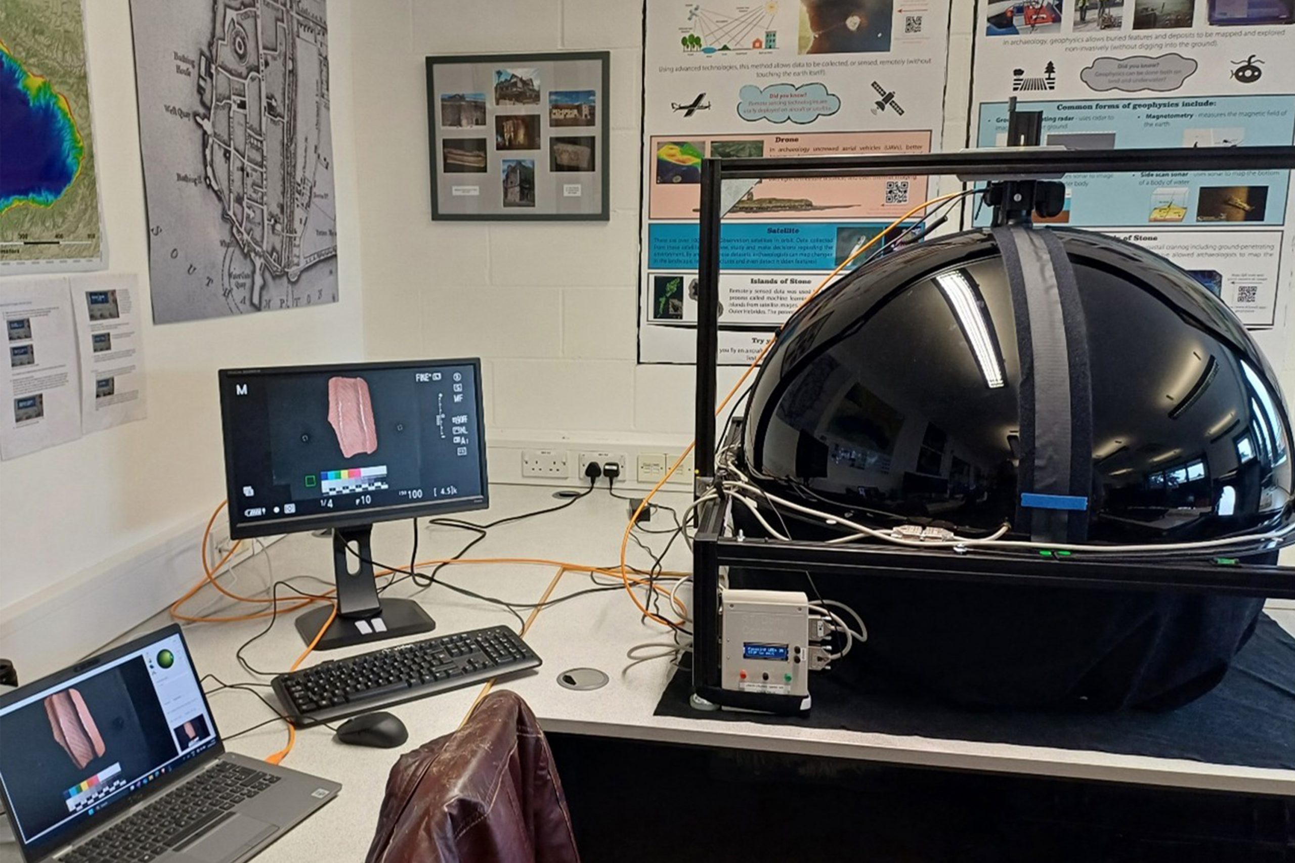
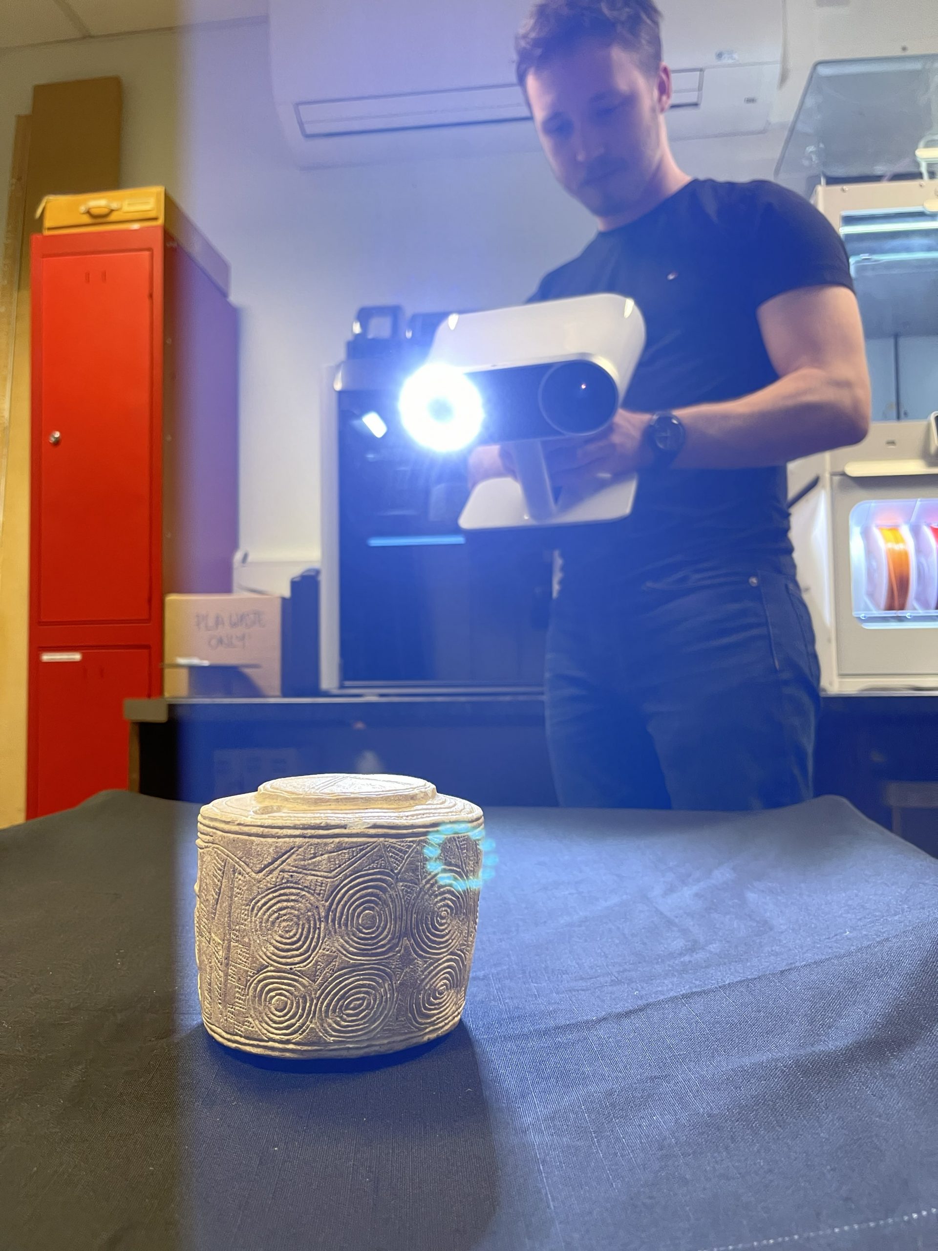
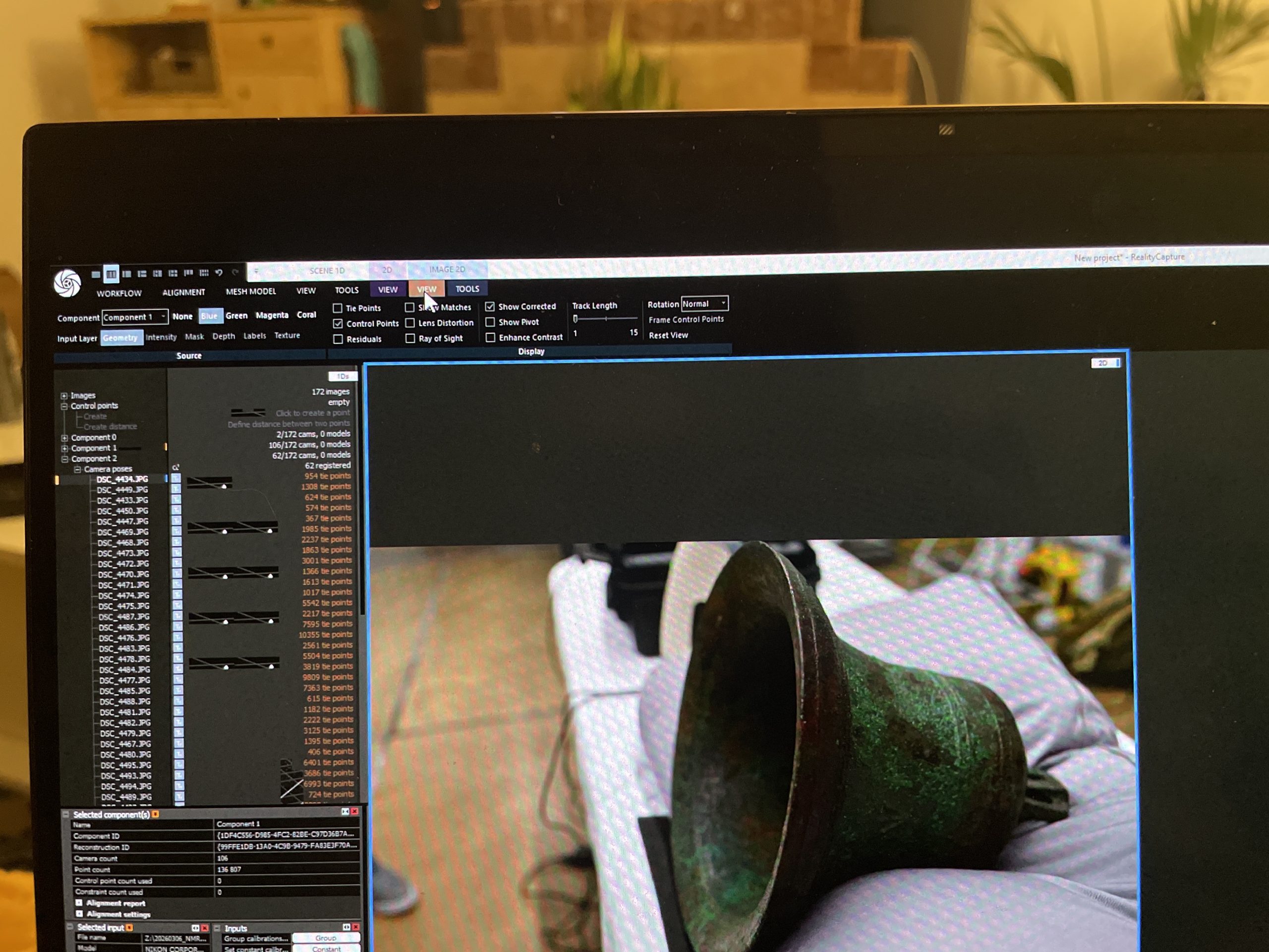
With both fixed and mobile labs to support a variety of imaging needs, our RTI domes, photogrammetry rigs, multispectral kits and high performance computers help bring objects to life through digital, 3D printed and extended reality mediums.
• Structured Light Scanning • RTI • Photogrammetry
• 3D/Computional Modelling • Data Visualisation •